Model Maker is a digital terrain modeling program and the most advanced in the Model Maker Systems software suite. It started off with the purpose of merely reducing tachometric survey data to x, y and z co-ordinates and today we are proud to present the most advanced functions available in terrain modeling.
The program consists of 20 modules, which are available in four different versions of the program. The versions are determined by the number of survey points that each can model. This modular design gives users access to only those features required for their application and thereby the cost of the software can be reduced greatly.
Provision is made to input data manually using any survey method, importing data from electronic data recorders or GPS systems and from various fixed and free format ASCII files. Data can also be captured from existing drawings using the built-in digitizing option.
In addition, a facility exists to survey new data or to use an existing model to do real-time setting out work on site by connecting a computer to an electronic survey instrument in the field.
Model Maker also includes a full and comprehensive integrated CAD link between the survey data and all the basic and advanced drawing functions. This enables the surveyor to create detail drawings efficiently on screen with his survey active in the background. In addition to the line styles available the user may also create new line styles and symbols to be used on drawings. more
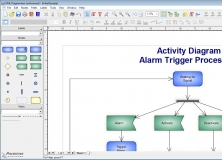
Creates activity diagrams, class and object diagrams and communication diagrams.
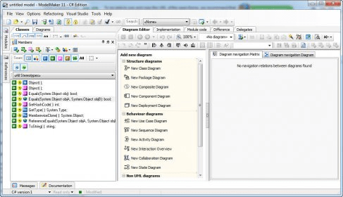
It is a comprehensive Use Case modeling workbench for individuals and teams.


Comments (1)
Great thanks.
Sincerely,
Darwish